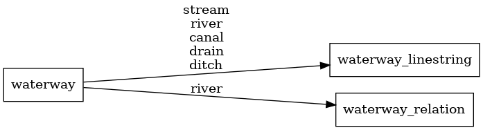
This PR is solving https://github.com/openmaptiles/openmaptiles/issues/406, partially also https://github.com/openmaptiles/openmaptiles/issues/320.
It is changing source of data for zoomlevel 6 - 8 in `waterway` layer to OSM (relation `waterway = river`), this way it corresponds with `water` layer.
Testing on Europe, z0 - z9 tiles increase size from 20.7 MB to 21.4 MB. We can discuss the level of generalization, but I think this size change is not critical.
12 KiB
697x188px
12 KiB
697x188px