* At zooms 9-13, water labels will now be rendered for water features that are at least 0.25 tiles in size.  This means that water features that are the same size as a 128x128 pixel square will get a point label.
* Labels for large water features are now shown at the lowest zoom at which it's appropriate to show a label.
* Bay and strait names (`natural=bay` and `natural=strait`) are included.
* Large seas modeled as areas (e.g. Caspian Sea) render as `class=sea` rather than `class=lake`
water_name
Docs
Read the layer documentation at http://openmaptiles.org/schema#water_name
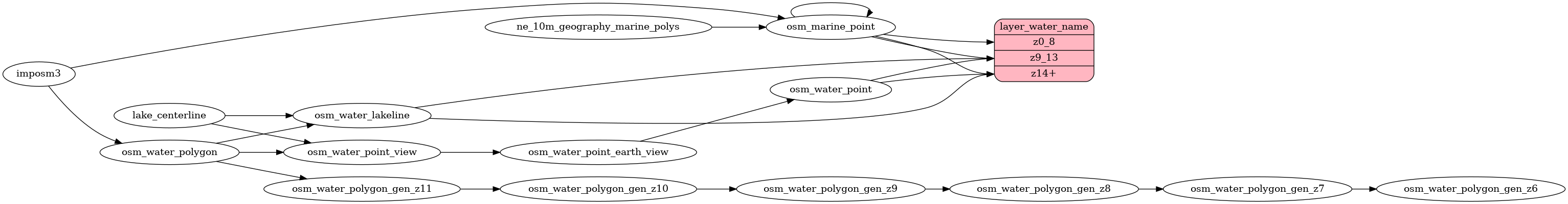
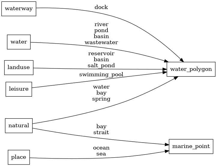
Mapping Diagram
ETL diagram