1.6 KiB
1.6 KiB
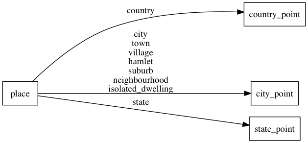
place
The place layer consists out of countries, states and cities. Apart from the roads this is also one of the more important layers to create a beautiful map. We suggest you use different font styles and sizes to create a text hierarchy.
Fields
- name_en: The english
name:envalue if available. - name: The OSM
namevalue of the POI. - rank: Countries, states and the most important cities all have a
rankto boost their importance on the map. Therankfield for counries and states ranges from1to6while therankfield for cities ranges from1to10for the most important cities and continues from10serially based on the local importance of the city (derived from population and city class). Use therankfield to build a text hierarchy. The rank value is a combination of the Natural Earthscalerank,labelrankanddatarankvalues for countries and states and for cities consists out of a shifted Natural Earthscalerankcombined with a local rank within a grid for cities that do not have a Natural Earthscalerank. - class: Distinguish between
country,stateand other city classes likecity,town,village,hamlet,suburb,neighbourhoodorisolated_dwelling. Use this to separately style the different places according to their importance (usually country and state different than cities).
Mapping